Project duration: November 2022 – October 2025
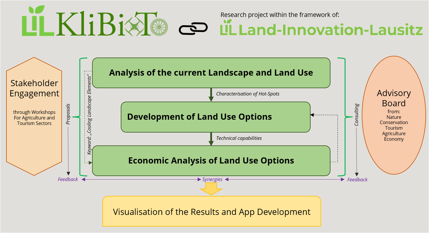
Analysis of the current Landscape and Land use: Recording Temperature Hot- and Cold-Spots
Our updated interactive map of hot- and cool spots in Lusatia is now available Here
We conducted field monitoring campaigns during some of the hottest days to capture the actual impact of heat waves on land surface temperature. We recorded hot and cool spots of different landscape elements, including agroforestry areas, agri-photovoltaic installations, water bodies, forest areas, bicycle paths, moorlands, heathlands.

© Photo on left side (Drone over maize field): Tsvetelina Krachunova, 2024; Photos on right side: (Drone on a bicycle lane, drone monitor): Dr. Charlotte Gerling, 2024
At the same time, data was recorded with hand-held thermal cameras on the ground along the same measuring points as the drone:
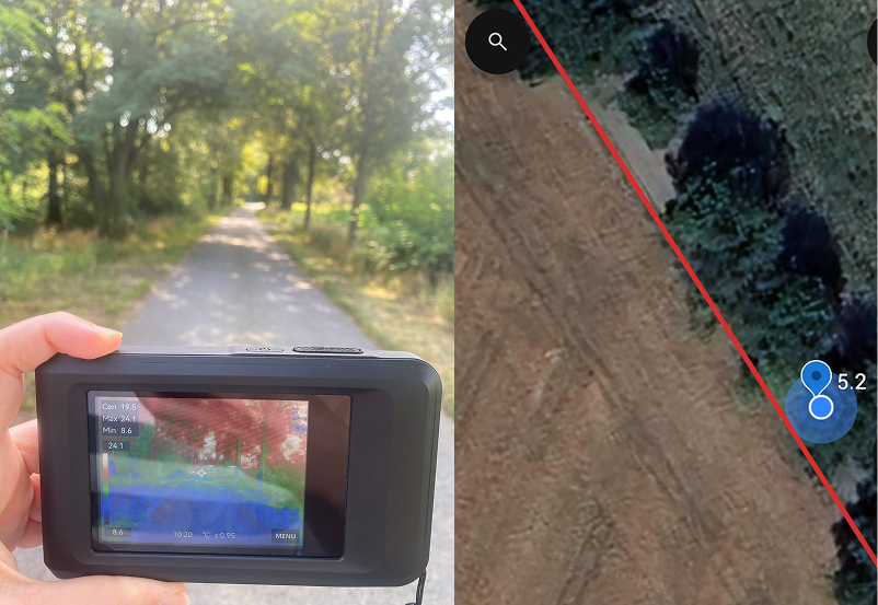
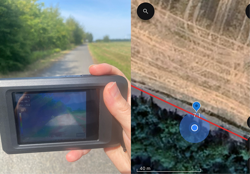
© Photos (Hand-held thermal cameras): Dr. Charlotte Gerling, 2024; Photos: Map material: Google LLC©
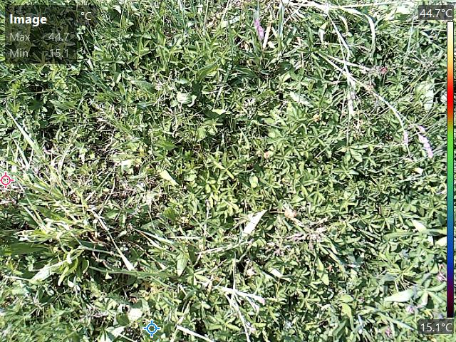
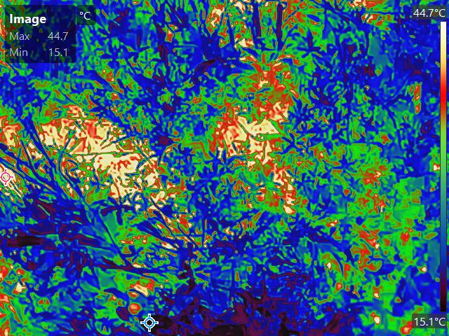
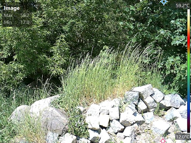
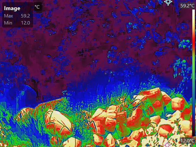
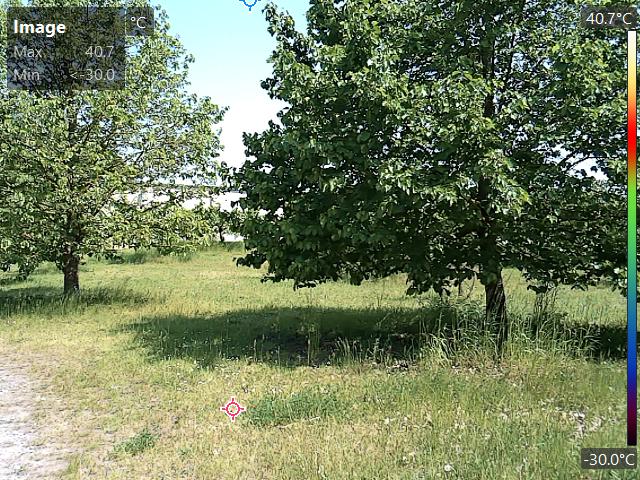
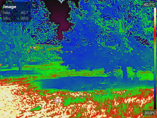
© Konlavach Mengsuwan, 2023
Here are some further results of the landscape cluster analysis (K.Mengsuwan, Prof. M. Ryo) :
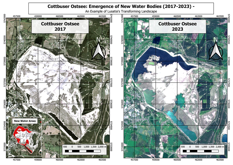
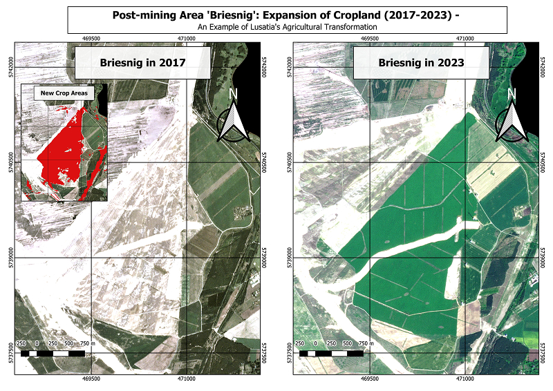
Development of Land Use Options
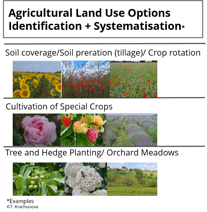
We identify, analyse, and systematise some promising options with a focus on agricultural land use. Taking into account agricultural and socio-economic framework conditions, land use options are elaborated that can be sensibly implemented in Lausitz. In addition to a literature review and analysis, we work with the data from the other two work packages and stakeholder workshops.
Economic Analysis of Land Use Options
In order to assess the preferences of farmers and cycle tourists with regard to climate change adaptation measures, we are conducting surveys using choice experiments in Lusatia. Choice experiments enable an economic evaluation of individual characteristics of a good by determining the willingness to pay for these characteristics. In this way, we can, for example, put a monetary value on the planting of tree rows to shade cycle paths, the improvement of irrigation options or the cultivation of climate change resilient crop varieties. In addition, we will calculate their costs on the basis of the land use options developed. By estimating preferences and costs, targeted adaptation measures can be derived.

